The journey to the lighthouse begins with a port-dipper, apparently built by Japanese fishermen at the beginning of the last century. Before boarding the boat, travelers are provided with a waterproof rubber chemical protection raincoat and a life jacket.
GPS: 46.348585, 143.362517
From here, one after another, inflatable motor boats with tourists depart for Aniva Bay.
The distance to the lighthouse is about 21.5 nautical miles and the journey takes about an hour and a half. On the left side is the coastline of the Tonino-Aniva Peninsula, whose cliffs are now and then enveloped in cool fogs…
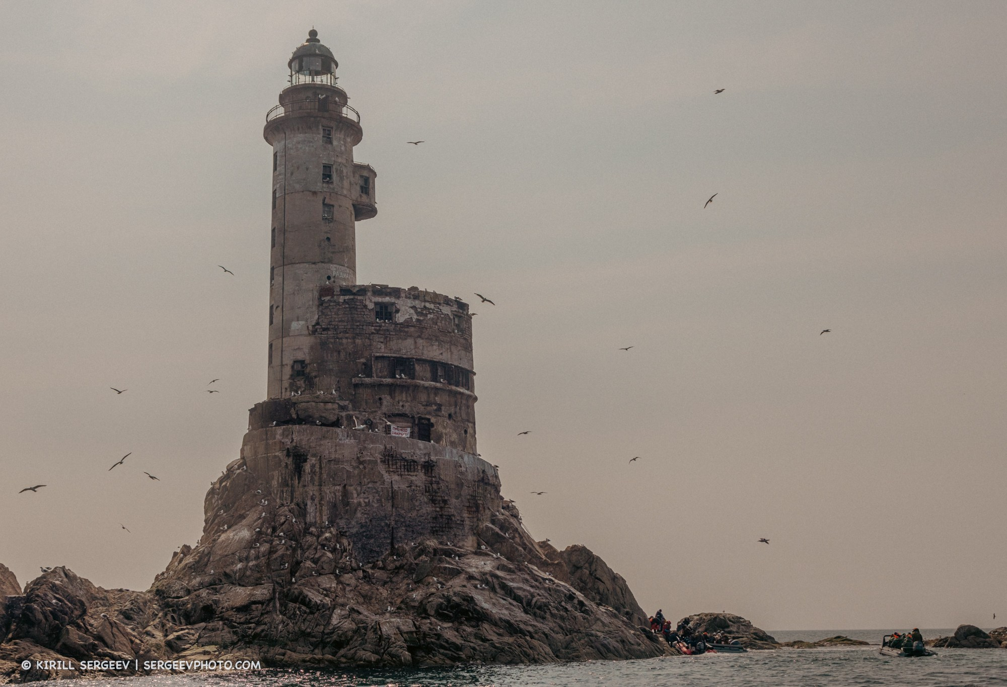
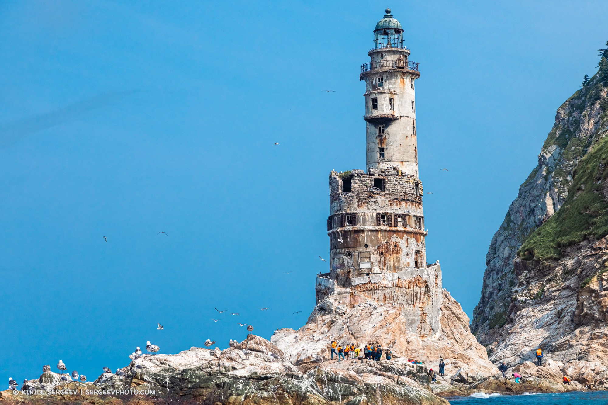
Finally, at the very tip of the peninsula, we reach the destination of our trip. On a separate island, a stone giant rises majestically, which, according to National Geographic, is one of the top 5 most beautiful lighthouses on Earth. Aniva was built between 1937 and 1939 by Japanese builders according to the design of engineer Shinobu Miura. At that time, the southern part of Sakhalin Island belonged to Japan and was called Karafuto Prefecture, and the lighthouse was called Cape Nakashiretoko Lighthouse until 1946. It served to ensure the safety of ships passing through the La Perouse Strait (connecting the Sea of Japan and the Sea of Okhotsk). Now there is a state border between Russia and Japan.
GPS: 46.018875, 143.414227
Following the Second World War, Sakhalin was transferred to the USSR, but the lighthouse continued to function. The light from the searchlight was visible at a distance of 16 nautical miles. It was serviced by caretakers and operated on batteries and diesel generators until 1990.
In 1990, the lighthouse was equipped with radioisotope thermoelectric generators with a service life of 10-20 years, and the need for caretakers disappeared — the lighthouse became completely autonomous. After the nuclear fuel resource was exhausted, the generators were removed and since 2006 the lighthouse is considered abandoned.
Near the lighthouse, on the rocky islets, sea lions and other marine animals gather among the seagulls, closely watching the boats with tourists scurrying back and forth.
We were lucky that the sea conditions allowed us to moor the boat near the island and we were able to step to the foot of Aniva. But unfortunately, since this year access to the lighthouse itself has been closed, so we had to admire it from the outside under the incessant cries of seagulls hatching chicks in these places. Due to the abundance of birds, the stones naturally become dirty and very slippery, which did not allow us to climb to the very base of the lighthouse.
Unfortunately, the lighthouse is currently in constant decline, due to the impact of the sea and anthropogenic factors. For this reason, it was closed, as it had become so dilapidated that visiting it had become unsafe. I would like to hope that funds will be allocated and major restoration work will be carried out in order to preserve this unique object before it disappears forever.
The return journey also passed along the coastline of the Tonino-Anivsky Peninsula with a stop at a bay with a white rock called Mramornaya. You can climb up it from the shore along a steep slope holding on to a rope. The rock offers a magnificent view of the bay, and also gives you the opportunity to see the nests of local birds (such as the Spectacled Guillemot, pictured).
GPS: 46.160673, 143.411719
Video about the trip to the lighthouse:
If you have problems playing it, you can also watch it here
THANK YOU FOR YOUR ATTENTION!
BLOG

Cycling race “Capital” in Moscow
A small photo report from the track during the “Capital” cycling race in Moscow.
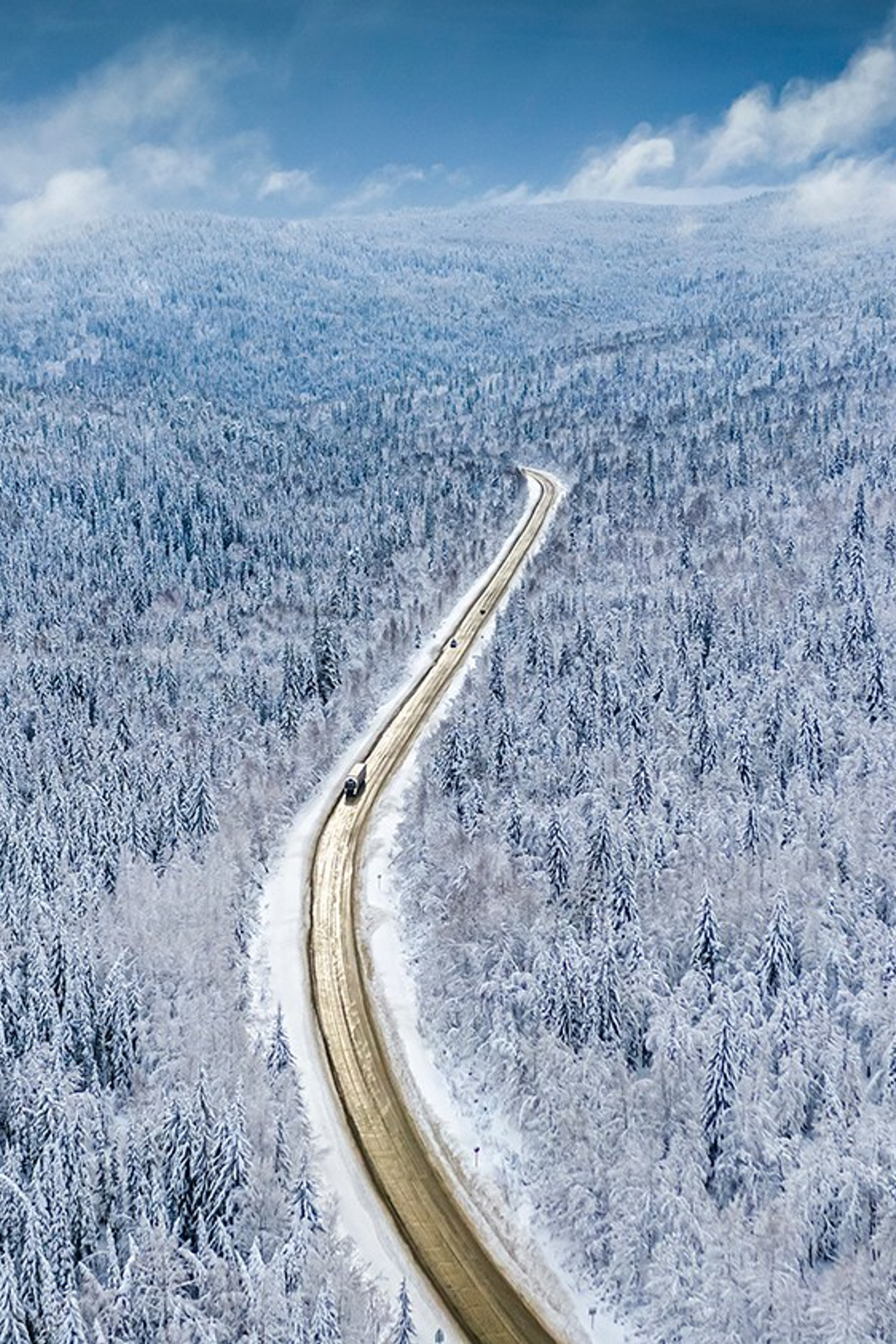
“The most beautiful country”. Victory in a competition from the RGS
The Russian Geographical Society (RGS) holds an annual photography competition for everyone. Over the course...
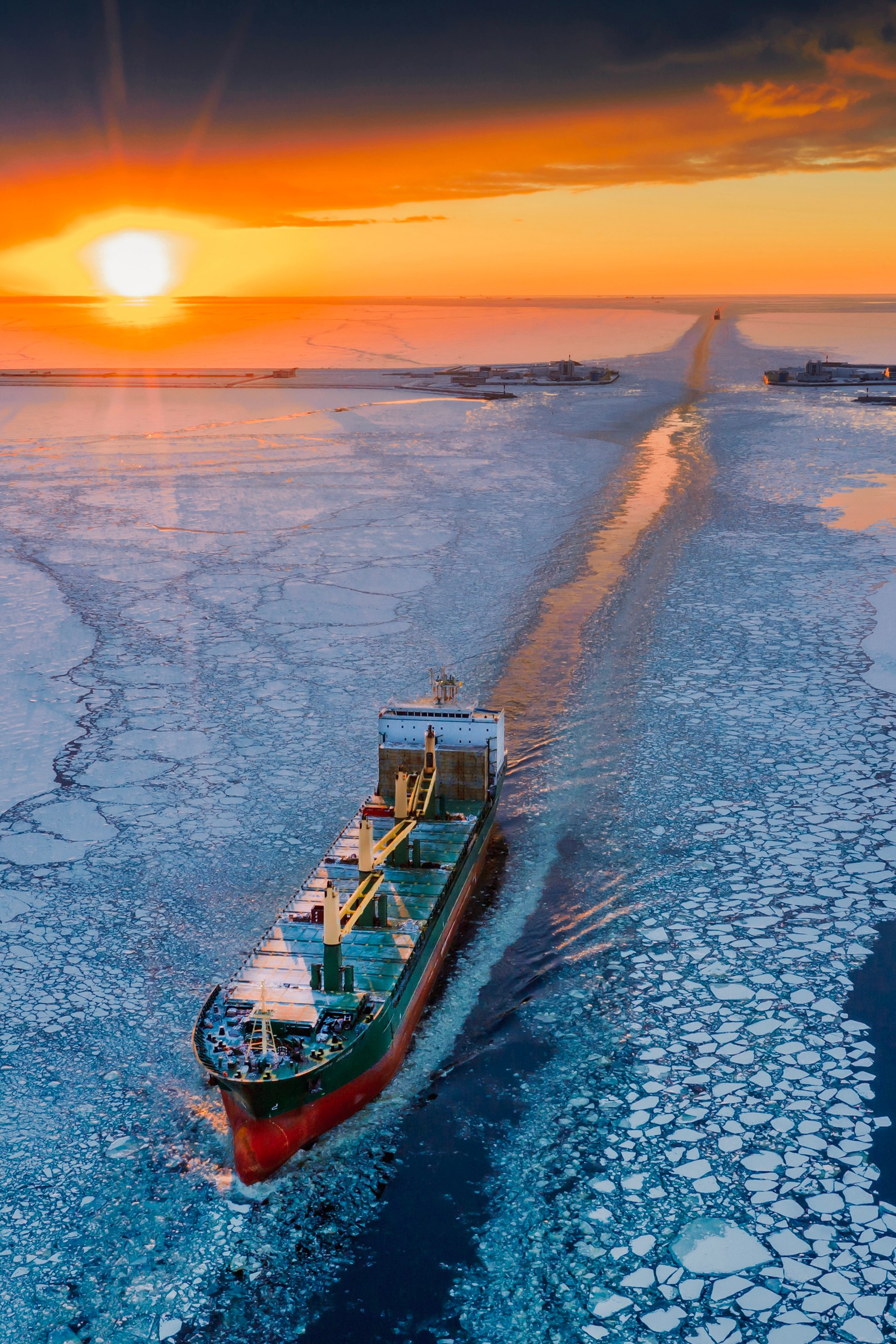
Forts of Kronstadt
The Kronstadt Forts are defensive structures located near Kotlin Island in the Gulf of Finland near St. Petersburg....

Retro-car rally “Victory Circle”
On May 10, 2025, the streets of Moscow turned into a time machine. The roar of engines, the shine of chrome bumpers...
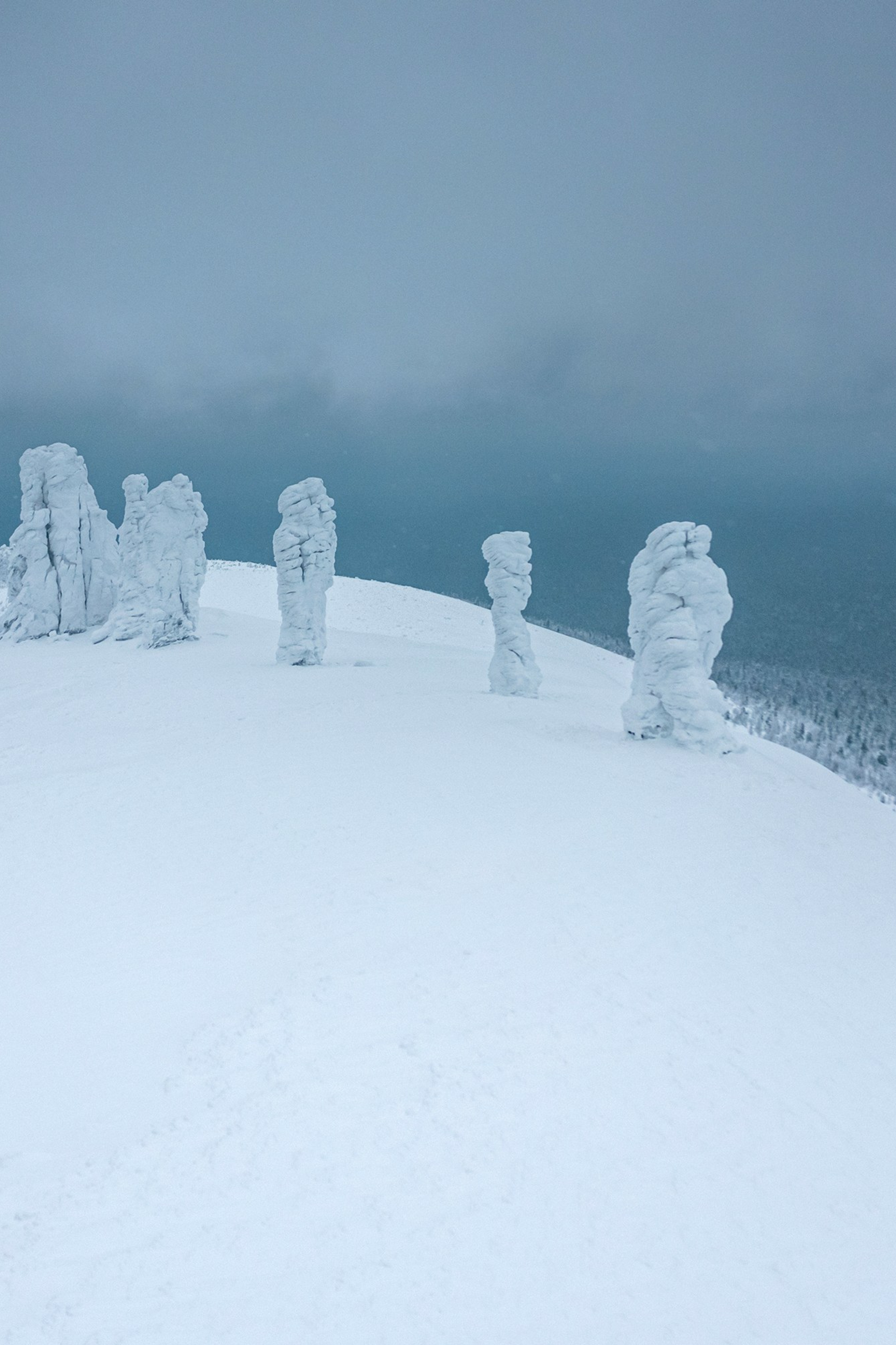
MANPUPUNEUR
The Manpupuner Plateau. One of the seven wonders of Russia, lost in the Ural Mountains among the endless taiga.
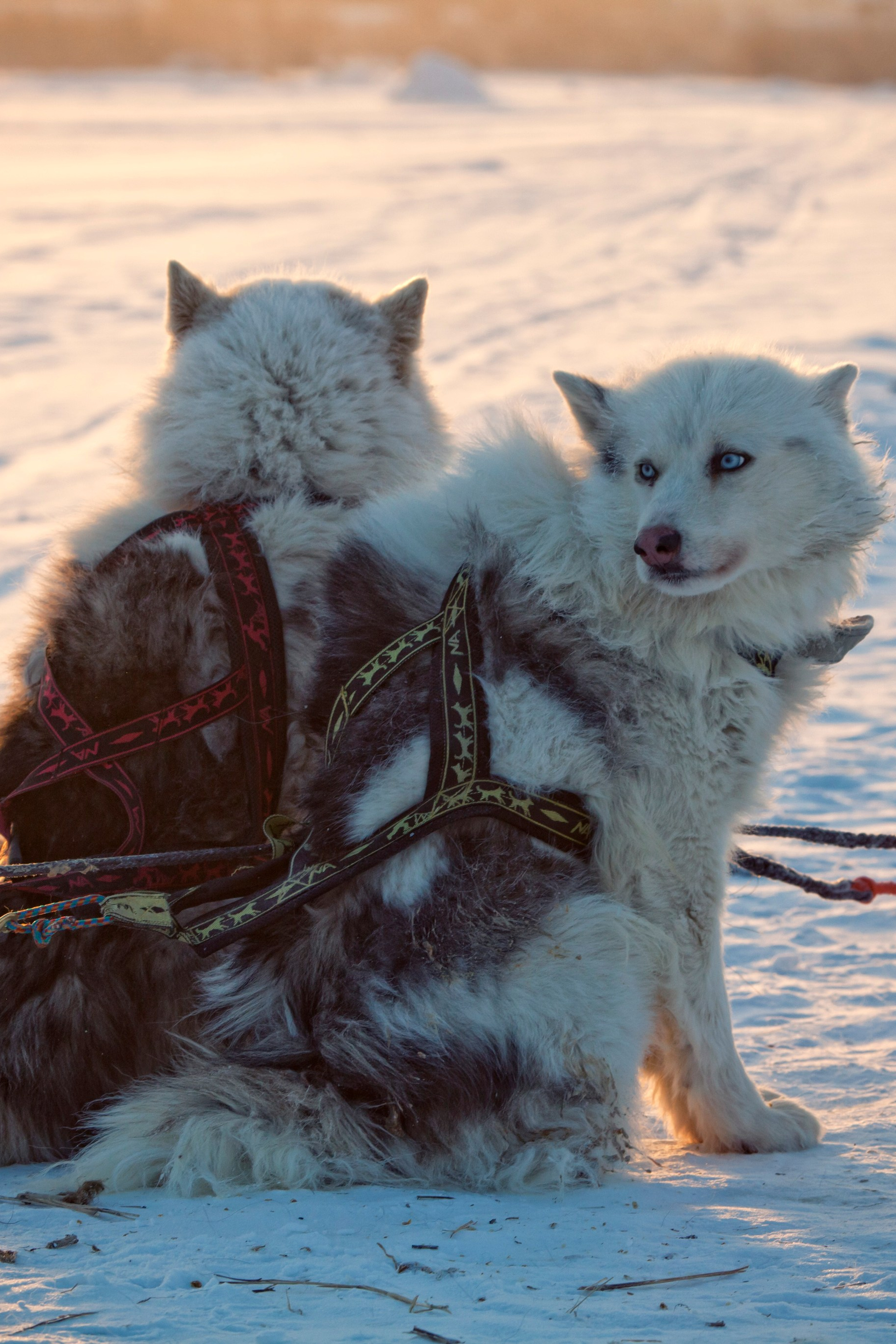
Yakutiya
Yakutia (Sakha) is a Russian republic located in Eastern Siberia, famous for its harsh winters, when temperatures can...
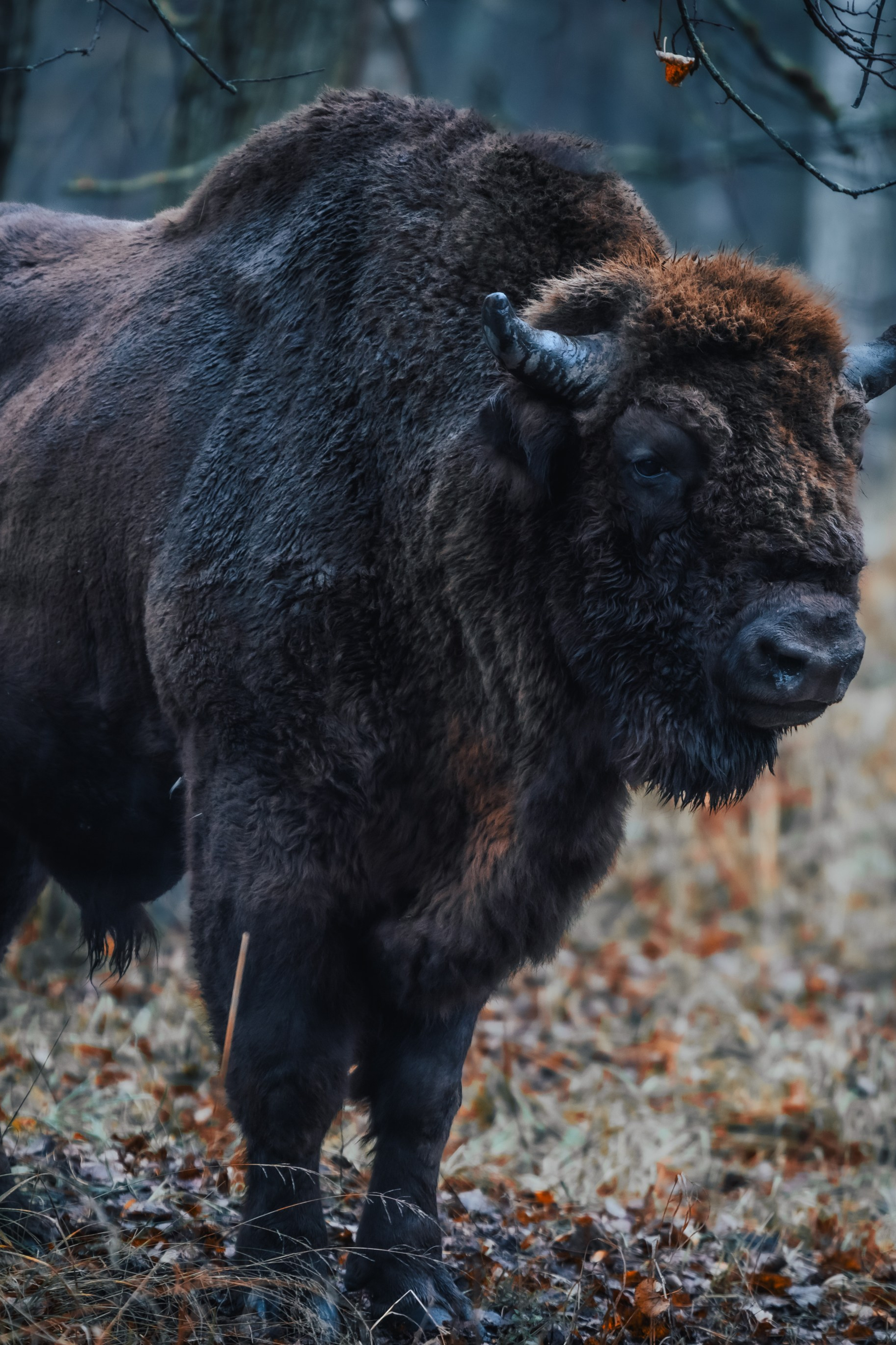
Central Bison Nursery
Prioksko-Terrasny Nature Reserve is a protected natural area located in the Moscow region, near the city of Serpukhov.
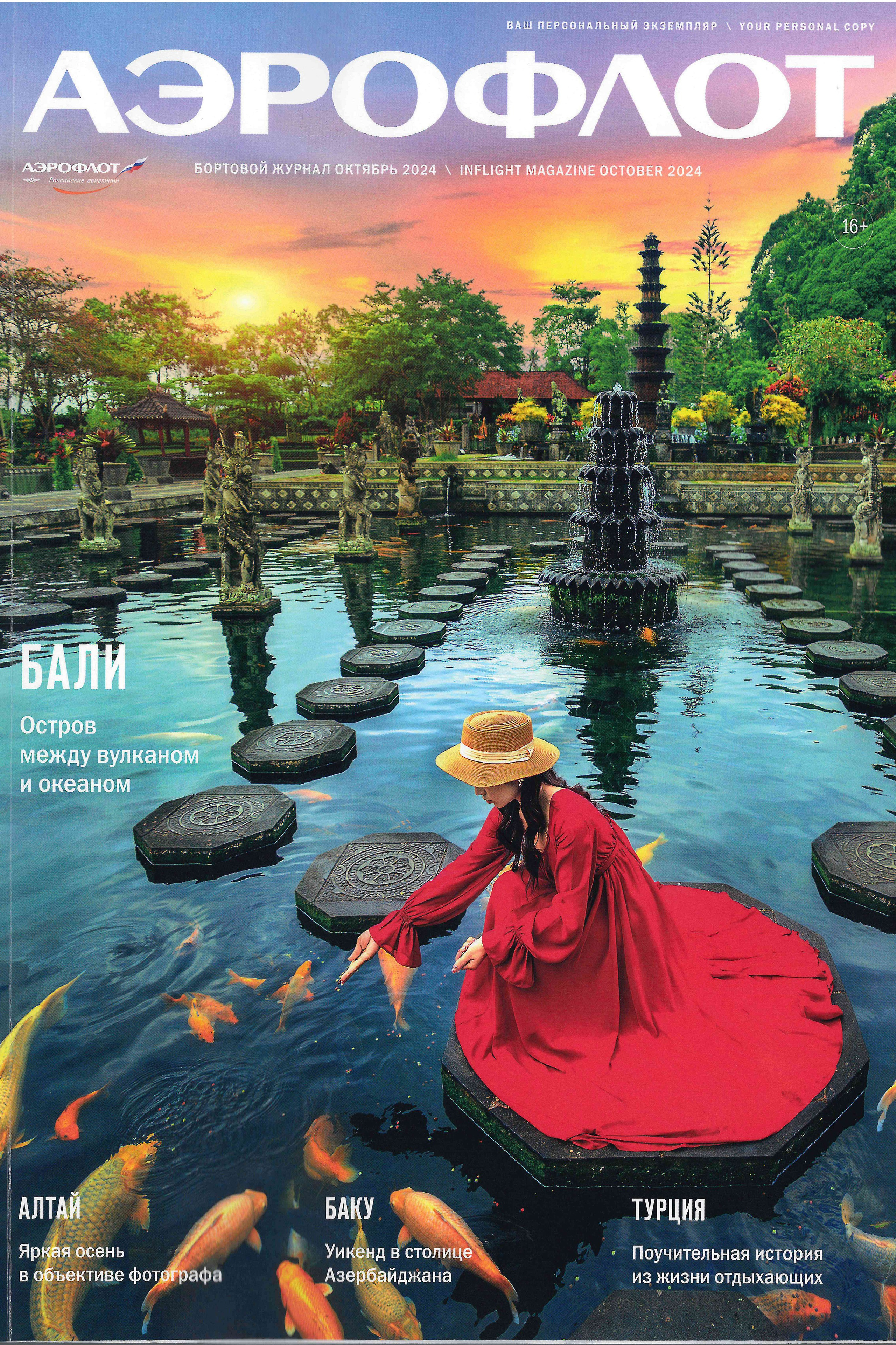
Article in Aeroflot’s in-flight magazine (October 2024)
An article in the Aeroflot inflight magazine for October 2024, dedicated to autumn in Altai. I managed to visit and...


